‘Wilma’ accelerates, to make landfall over Eastern Visayas; Signal No. 1 up in 27 areas
‘Wilma’ accelerates, to make landfall over Eastern Visayas; Signal No. 1 up in 27 areas
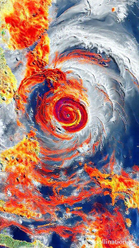
Tropical Depression Wilma A Closer Look at its Impact on Eastern Visayas
As Tropical Depression Wilma continues to intensify and make landfall over Eastern Visayas, residents are urged to take necessary precautions to ensure their safety. With Signal No. 1 hoisted in 27 areas, it's essential to stay informed about the latest updates from the Philippine Atmospheric, Geophysical and Astronomical Services Administration (Pagasa).
Current Status
As of 5 a.m., Wilma is situated 70 kilometers east of Borongan City, Eastern Samar, with maximum sustained winds of 45 km per hour near the center and gustiness of up to 55 km per hour. The tropical depression is moving westward at a speed of 15 km per hour.
Forecast
Wilma is expected to make its initial landfall over Eastern Visayas, where it will continue to traverse the region until Sunday. After that, it will emerge over the Sulu Sea and may pass over northern Palawan by Monday morning. Throughout its passage over the Visayas and Southern Luzon, Wilma is likely to remain a tropical depression.
Signal No. 1
In Luzon, Signal No. 1 has been hoisted over various areas, including Sorsogon, Masbate, Romblon, Oriental Mindoro, Occidental Mindoro, and Palawan. In the Visayas, the same signal has been raised in many provinces, including Northern Samar, Eastern Samar, Samar, Biliran, Leyte, Southern Leyte, Cebu, Bohol, Negros Occidental, Siquijor, and more.
Weather Conditions
Residents can expect heavy rainfall with gusty winds over the Visayas, Romblon, Masbate, Sorsogon, Camiguin, Surigao del Norte, Surigao del Sur, Agusan del Norte, and Dinagat Islands. In other areas, scattered rains and isolated thunderstorms may occur due to Wilma's passage.
Flash Floods and Landslides
Moderate to heavy rainfall at times intense is expected in some areas, leading to flash floods and landslides. Residents are advised to take necessary precautions to ensure their safety during this period.
Regional Impact
Zamboanga Peninsula, the rest of Caraga, and the rest of Northern Mindanao can expect scattered rains and thunderstorms due to Wilma's passage. Cagayan Valley, the Cordillera region, and Aurora will experience rains due to the northeast monsoon. The rest of the country will have partly cloudy to cloudy skies with isolated light rainfall.
Coastal Conditions
Northern Luzon and eastern sections of Central and Southern Luzon can expect strong to gale wind conditions and rough to very rough coastal waters. The western section of Mindanao, the rest of Luzon, and the rest of the Visayas will experience moderate to strong winds and moderate to rough seas.
Conclusion
As Tropical Depression Wilma makes landfall over Eastern Visayas, it's essential for residents to stay informed about the latest updates from Pagasa. With Signal No. 1 hoisted in many areas, it's crucial to take necessary precautions to ensure safety during this period. By staying vigilant and prepared, we can minimize the impact of this tropical depression on our communities.
What You Can Do
Stay informed by tuning into weather updates from Pagasa
Prepare for heavy rainfall and strong winds by stocking up on essential supplies
Avoid traveling or going outside during extreme weather conditions
Keep emergency kits ready with essentials such as food, water, and first aid supplies
By taking these simple steps, we can ensure our safety and well-being during this challenging period.
Popular Tools
Recent Posts